Wind Chill Chart and Formula: Frostbite Times and How to Dress for the Cold
- NWS formula: 35.74 + 0.6215T − 35.75(V^0.16) + 0.4275T(V^0.16), valid at or below 50°F with wind above 3 mph.
- At 0°F with a 15 mph wind, the wind chill is −19°F and frostbite can occur in about 30 minutes.
- Frostbite needs the actual air temperature below freezing; wind chill cannot cool cars or pipes below the air temperature.
- Wind chill alerts were renamed Extreme Cold Watch/Warning and Cold Weather Advisory on October 1, 2024.
- CDC: cover face, head, hands and feet and wear several loose layers; remove wet clothing immediately.
- What is wind chill?
- The NWS wind chill formula
- Wind chill chart (°F)
- Frostbite times: how fast skin can freeze
- Wind chill and NWS cold alerts: Extreme Cold Warning and Cold Weather Advisory
- How to dress for wind chill: layering that works
- Wind chill on a motorcycle, bike or snowmobile
- What wind chill does not do
This article is part of the 77.today Winter Weather Guide 2026–27, prepared by the 77.today editors from the sources listed at the end.
The thermometer says 5°F, but the forecast says it will "feel like" −20°F. That second number is the wind chill, and it is what decides how fast exposed skin freezes. This part of our Winter Weather Guide 2026–27 explains what wind chill is, the exact NWS wind chill formula, a wind chill chart in Fahrenheit you can use without a calculator, how fast frostbite sets in at different values, which alerts the National Weather Service issues for dangerous cold, and how to dress in layers so you stay warm without sweating.
What is wind chill?
According to the National Weather Service, the wind chill temperature is "how cold people and animals feel when outside." It is based on the rate of heat loss from exposed skin caused by wind and cold. As the wind increases, it draws heat away from the body faster, driving down skin temperature and eventually internal body temperature. The NWS example: if the temperature is 0°F and the wind is blowing at 15 mph, the wind chill is −19°F, and at that wind chill exposed skin can freeze in 30 minutes.
The current NWS index was built to be realistic rather than dramatic. The agency says it:
- estimates wind speed at about 5 feet, the height of an adult face, from readings taken at the standard anemometer height of 33 feet;
- is based on a model of the human face and on heat-transfer theory;
- uses a calm-wind threshold of 3 mph and a consistent standard for skin tissue resistance;
- assumes no effect from the sun, as on a clear night.
That last point matters. The NWS notes that bright sunshine may increase the wind chill temperature by 10°F to 18°F, so the published number is a conservative, worst-case value.
The NWS wind chill formula
If you want to calculate wind chill yourself, this is the official formula published by the NWS:
Wind chill (°F) = 35.74 + 0.6215T − 35.75(V0.16) + 0.4275T(V0.16)
where T is the air temperature in degrees Fahrenheit and V is the wind speed in miles per hour. The formula is only valid for temperatures at or below 50°F and wind speeds above 3 mph. Above 50°F, wind chill is not defined, which answers a common question about "wind chill above 50 degrees": the NWS chart and calculator simply do not apply.
A worked example: at T = 10°F and V = 20 mph, V0.16 is about 1.615. Plugging in gives 35.74 + 6.215 − 57.74 + 6.90 ≈ −8.9, so the wind chill is about −9°F, the same value shown on the NWS chart. The NWS also notes that when it tested the index on volunteers, relative humidity changed the result by less than 1 degree, so humidity is left out of the formula.
Wind chill chart (°F)
This table reproduces values from the official NWS Wind Chill Chart. Find the air temperature across the top and the wind speed down the left side; the number where they meet is the wind chill in °F.
| Wind (mph) | 40°F | 30°F | 20°F | 10°F | 0°F | −10°F | −20°F | −30°F |
|---|---|---|---|---|---|---|---|---|
| 5 | 36 | 25 | 13 | 1 | −11 | −22 | −34 | −46 |
| 10 | 34 | 21 | 9 | −4 | −16 | −28 | −41 | −53 |
| 15 | 32 | 19 | 6 | −7 | −19 | −32 | −45 | −58 |
| 20 | 30 | 17 | 4 | −9 | −22 | −35 | −48 | −61 |
| 25 | 29 | 16 | 3 | −11 | −24 | −37 | −51 | −64 |
| 30 | 28 | 15 | 1 | −12 | −26 | −39 | −53 | −67 |
| 40 | 27 | 13 | −1 | −15 | −29 | −43 | −57 | −71 |
| 50 | 26 | 12 | −3 | −17 | −31 | −45 | −60 | −74 |
| 60 | 25 | 10 | −4 | −19 | −33 | −48 | −62 | −76 |
The full printable NWS chart, which runs from 40°F to −45°F and from 5 to 60 mph, is available as a PDF from the National Weather Service. It shades the cells by how quickly frostbite can occur: 30 minutes, 10 minutes or 5 minutes.
Frostbite times: how fast skin can freeze
Frostbite time depends on both the temperature and the wind, which is why two identical wind chill values can carry different risks. NOAA's JetStream weather school gives a striking example: at −40°F with only a 5 mph wind, the wind chill is −58°F and frostbite can occur in 10 minutes or less. At −20°F with a 45 mph wind, the wind chill is also −58°F, yet frostbite can occur in 5 minutes or less.
| Example from NWS/NOAA | Wind chill | Frostbite on exposed skin |
|---|---|---|
| 0°F air, 15 mph wind | −19°F | about 30 minutes |
| −40°F air, 5 mph wind | −58°F | 10 minutes or less |
| −20°F air, 45 mph wind | −58°F | 5 minutes or less |
Two rules from the NWS help put these numbers in context. First, frostbite requires the actual air temperature near your skin to be below freezing. If the thermometer reads above 32°F, wind chill cannot freeze your skin, although you can still develop hypothermia. Second, the wind chill tests were done on adults. For children, older adults and people with health conditions, the NWS advises using the chart as a starting point and being even more cautious.
The CDC and ready.gov describe the warning signs of frostbite as numbness and white or grayish-yellow, firm or waxy skin, most often on the nose, ears, cheeks, chin, fingers and toes. Ready.gov's first aid advice: go to a warm room, soak in warm water or use body heat to rewarm, and do not massage the area or use a heating pad. Hypothermia is an unusually low body temperature; ready.gov says a temperature below 95°F is an emergency. Signs include shivering, exhaustion, confusion, fumbling hands, memory loss, slurred speech and drowsiness. Warm the center of the body first (chest, neck, head and groin) and get medical help.
1. Wind chill is defined only at or below 50°F with wind above 3 mph. 2. It applies to people and animals, not to cars or pipes: a −31°F wind chill cannot cool your radiator below the actual −5°F air temperature, it only cools it faster. 3. You can only get frostbite if the actual air temperature is below freezing; a windy 35°F day can still cause hypothermia, but not frostbite.
Wind chill and NWS cold alerts: Extreme Cold Warning and Cold Weather Advisory
You will no longer see "Wind Chill Warning" in NWS alerts. On October 1, 2024, the NWS renamed its cold products: Wind Chill Watches became Extreme Cold Watches, Wind Chill Warnings were merged into Extreme Cold Warnings, and Wind Chill Advisories became Cold Weather Advisories. The NWS says the change reflects that cold is dangerous with or without wind.
- Extreme Cold Warning: extremely dangerous cold or wind chills are expected or occurring. Avoid going outside; if you must, dress in layers, cover exposed skin and tell someone where you are going.
- Extreme Cold Watch: dangerous cold is possible but timing or location is uncertain. Make sure your car has at least half a tank of gas and update your winter survival kit.
- Cold Weather Advisory: dangerously cold conditions that are below warning criteria. Dress appropriately and cover exposed skin.
Criteria are set by each local office. The NWS gives the Rochester, New York, area as an example: Extreme Cold Warnings when the apparent temperature is expected at or below −25°F, and Cold Weather Advisories between −15°F and −24°F. Southern offices use much milder thresholds because homes, pipes and people there are less adapted to the cold. For the full alert ladder, see winter storm warning vs. watch vs. advisory.
How to dress for wind chill: layering that works
The CDC's advice for going outside in cold weather is specific: wear a scarf or knit mask that covers the face and mouth, a hat, mittens or gloves, a water-resistant coat, water-resistant boots and several layers of loose-fitting clothing, and make sure the body parts most often hit by frostbite are covered in warm, dry clothing.
| Body area | What to wear (CDC and NWS guidance) | Why |
|---|---|---|
| Face and mouth | Scarf or knit mask | Nose, cheeks and chin are among the first places frostbite strikes |
| Head and ears | Hat that covers the ears | Ears are a common frostbite site |
| Hands | Mittens or gloves (mittens keep fingers together and warmer) | Fingers are a common frostbite site |
| Torso | Several layers of loose-fitting clothing; a water-resistant coat | Trapped air insulates; layers can be removed before you sweat |
| Feet | Water-resistant boots, dry socks | Wet feet lose heat fast; toes are a common frostbite site |
Layering works because air trapped between layers insulates, and because you can adjust. The NWS recommends layers of loose-fitting, lightweight, warm clothing, and removing layers to avoid overheating, perspiration and the chill that follows. Sweat is the hidden enemy: damp clothing pulls heat away from the body, and the CDC advises removing wet clothing immediately. In practice that means a base layer that does not stay soaked with sweat, an insulating middle layer and a wind- and water-resistant outer shell. Wind is what turns a cold day into a dangerous one, so a shell that blocks it makes a large difference at the same temperature.
Exertion matters too. Ready.gov warns that overexertion while shoveling snow or walking in deep snow raises the risk of heart attack, so take breaks and do not push through chest pain or shortness of breath.
Wind chill on a motorcycle, bike or snowmobile
"Wind chill chart for motorcycles" is one of the most searched variations, and the logic is simple: when you move, your own speed adds to the wind on your face. A rider at highway speed on a calm 40°F day experiences roughly the 60 mph row of the chart, a wind chill of about 25°F. At 30°F the same ride feels like about 10°F, cold enough for frostbite risk over a long ride if skin is exposed. The NWS chart stops at 60 mph, so treat faster speeds as at least that cold. Full-face helmets, windproof gloves and a neck gaiter are the equivalent of the CDC's face and hand coverage.
Wind chill also applies to pets and livestock. The NWS notes that animals feel the effects of wind chill just as people do. Bring pets indoors when Extreme Cold alerts are in effect, and see our winter storm preparedness guide for pet and livestock tips.
What wind chill does not do
- It does not freeze pipes faster than the air temperature. The NWS example: with an air temperature of −5°F and a wind chill of −31°F, your car's radiator will not drop below −5°F. Wind only makes it reach that temperature faster.
- It does not apply above 50°F. Warm-weather "feels like" values use the heat index instead.
- It is not a forecast of the temperature. Always check both numbers. The air temperature decides whether water freezes and roads ice up; wind chill decides how quickly you lose heat.
Cold waves often arrive behind big storms and polar vortex disruptions. For the season ahead, read the winter forecast 2026–27, or go back to the Winter Weather Guide hub.
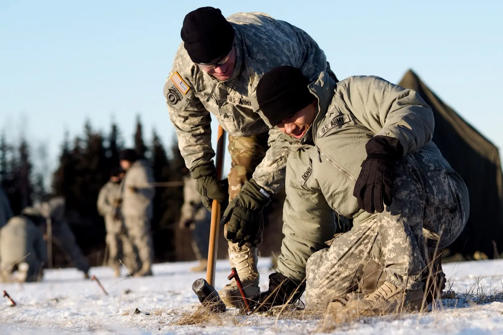
Cover image: Soldiers during cold-weather training in Alaska, November 2016. U.S. Air Force photo by Justin Connaher via Wikimedia Commons, public domain (U.S. government work).
Frequently asked questions
What is the wind chill formula?
The NWS formula is Wind chill (°F) = 35.74 + 0.6215T − 35.75(V^0.16) + 0.4275T(V^0.16), where T is air temperature in °F and V is wind speed in mph. It is valid only at or below 50°F with winds above 3 mph.
What wind chill temperature causes frostbite?
On the NWS chart, a wind chill around −19°F (0°F air with a 15 mph wind) can freeze exposed skin in about 30 minutes. Colder and windier conditions can cause frostbite in 10 minutes or even 5 minutes.
Can you get frostbite when it is above freezing?
No. According to the NWS, frostbite requires the actual air temperature near the skin to be below freezing. Wind chill below 32°F on a day above freezing can still cause hypothermia.
Does wind chill affect cars and pipes?
Only by cooling them faster. Inanimate objects cannot drop below the actual air temperature; with −5°F air and a −31°F wind chill, a car radiator will not go below −5°F.
Is there a wind chill above 50 degrees?
No. The NWS defines wind chill only for temperatures at or below 50°F and wind speeds above 3 mph.
What is the wind chill for motorcycle riding?
Use your riding speed as the wind speed. On the NWS chart, 40°F at 60 mph feels like about 25°F, and 30°F at 60 mph feels like about 10°F.
What replaced the wind chill warning?
Since October 1, 2024, the NWS issues Extreme Cold Watches and Warnings and Cold Weather Advisories instead of wind chill watches, warnings and advisories.
How should I dress for extreme wind chill?
The CDC recommends a scarf or knit mask, a hat, mittens or gloves, a water-resistant coat and boots, and several layers of loose-fitting clothing. Keep layers dry and remove wet clothing right away.
Sources
- National Weather Service – Understanding Wind Chill
- National Weather Service – Wind Chill Chart (PDF)
- NOAA JetStream – Wind Chill
- National Weather Service – Understanding Cold Weather Alerts
- National Weather Service – Cold hazard simplification (October 1, 2024)
- National Weather Service – What to do if you're caught in a winter storm
- CDC – Preventing Frostbite
- CDC – Preventing Hypothermia
- CDC – Preventing Hypothermia and Frostbite (PSA toolkit)
- Ready.gov – Winter Weather
Log in to comment
No comments yet. Be the first.