Winter Storm Warning vs. Watch vs. Advisory: Blizzard Warnings Explained
- A watch means a significant storm is possible; a warning means it is expected or occurring; an advisory covers lighter but still hazardous weather.
- Blizzard warning: frequent gusts of 35 mph or more with snow cutting visibility below 1/4 mile for 3 hours or more; no minimum snowfall.
- Ice storm warnings are usually issued for about 1/4 inch of ice or more.
- From about October 1, 2026, the NWS can add 'Particularly Dangerous Situation' wording to extreme blizzard and ice storm warnings.
- Since October 1, 2024, wind chill alerts are called Extreme Cold Watch/Warning and Cold Weather Advisory.
- Watch vs. warning vs. advisory: the three levels
- Every winter weather alert at a glance
- What is a winter storm warning?
- What is a blizzard warning? The official NWS criteria
- Blizzard warning vs. winter storm warning
- Ice storm warnings and the new "Particularly Dangerous Situation" wording
- Snow squall and lake-effect snow warnings
- Cold alerts renamed: Extreme Cold Warning and Cold Weather Advisory
- How to get winter weather alerts
- Common mistakes people make with winter alerts
This article is part of the 77.today Winter Weather Guide 2026–27, prepared by the 77.today editors from the sources listed at the end.
When a storm is on the way, your phone, TV and the National Weather Service will start using three words that sound alike but mean very different things: watch, warning and advisory. Add a blizzard warning, an ice storm warning, a snow squall warning and the newer Extreme Cold Warning, and it is easy to lose track. This part of our Winter Weather Guide 2026–27 explains every winter alert the NWS issues, the official criteria behind a blizzard warning, how a winter storm warning differs from a winter storm watch and a winter weather advisory, what changed for the 2026–27 season, and exactly what to do when each alert lands on your screen.
Watch vs. warning vs. advisory: the three levels
The National Weather Service uses the same three-level ladder for winter weather that it uses for most other hazards. The words are short on purpose, and the NWS pairs each one with a plain instruction:
- Watch – Be prepared. Conditions are favorable for a significant winter storm, but the timing, location or amounts are still uncertain. A winter storm watch is usually your first heads-up, issued while there is still time to prepare.
- Warning – Take action. A significant, hazardous event is expected or already happening. Travel will become difficult or impossible in some places. A warning is the alert you should never ignore.
- Advisory – Be aware. Wintry weather is expected and will cause problems, especially on the roads, but it is not expected to reach warning level. A winter weather advisory is the most common winter alert in much of the country.
The key difference between a winter storm watch vs. warning is confidence. A watch says "this could happen, get ready." A warning says "this is going to happen, act now." The difference between a winter weather advisory vs. warning is severity: both are high-confidence alerts, but an advisory covers lighter amounts of snow, sleet or ice that still make driving slick.
All winter alerts are issued by your local NWS forecast office, not by a national center. That is why a neighbor across a county line can be under a different alert, and why the same amount of snow can trigger a warning in one state and only an advisory in another. You can read the NWS description of every winter product on its winter warnings, watches and advisories page.
Every winter weather alert at a glance
This table collects the winter and cold-weather alerts the NWS uses as of October 2026, with the official meaning of each and the first thing you should do. It reflects the cold-weather renaming that took effect on October 1, 2024, which is explained further down.
| Alert | Level | What it means | What to do |
|---|---|---|---|
| Winter Storm Watch | Watch | A significant winter storm (heavy snow, heavy sleet, ice, or snow with blowing snow) is possible | Check supplies, fuel the car, follow updates |
| Winter Storm Warning | Warning | A significant winter weather event with snow, ice, sleet or blowing snow is expected or occurring | Delay travel until conditions improve |
| Blizzard Warning | Warning | Frequent gusts of 35 mph or more with snow cutting visibility below 1/4 mile for 3+ hours | Do not travel; whiteouts are likely |
| Ice Storm Warning | Warning | Ice accumulation, usually around 1/4 inch or more | Expect power outages and falling limbs; stay off roads |
| Lake Effect Snow Warning | Warning | Heavy lake-effect bands expected to drop significant snow in a limited area | Avoid travel through the bands |
| Snow Squall Warning | Warning (short-fused) | A brief, intense burst of snow and wind with sudden whiteouts, usually under an hour | Delay driving until the squall passes |
| Winter Weather Advisory | Advisory | Snow, blowing snow, sleet, ice or a mix that is below warning criteria | Drive slowly, allow extra time |
| Lake Effect Snow Advisory | Advisory | Lake-effect snow below warning criteria | Expect sudden low visibility in places |
| Extreme Cold Watch | Watch | Dangerously cold air or wind chills are possible | Plan to limit time outdoors, update car kit |
| Extreme Cold Warning | Warning | Dangerously cold air or wind chills are expected or occurring | Avoid going outside; cover all skin |
| Cold Weather Advisory | Advisory | Dangerous cold that is below warning criteria | Dress in layers, cover exposed skin |
| Freeze Watch / Freeze Warning / Frost Advisory | Watch / Warning / Advisory | Temperatures at or below freezing that threaten plants and crops | Protect plants, outdoor pipes and pets |
What is a winter storm warning?
According to the NWS, a winter storm warning is issued for "a significant winter weather event including snow, ice, sleet or blowing snow or a combination of these hazards." Travel will become difficult or impossible in some situations, and the agency's advice is short: delay your travel plans until conditions improve.
What a winter storm warning does not have is one national number. People often search for "winter storm warning criteria" expecting something like "6 inches of snow," but each NWS office sets its own thresholds based on what its communities can handle. The NWS gives a simple example: the amount of snow that triggers a winter storm warning in the Northern Plains is typically much higher than the amount needed in the Southeast, where fewer plows and less experience with snow mean a few inches can shut down a city. To see the exact criteria for your area, look for the "criteria" or "products" page on your local forecast office's website at weather.gov.
A warning is issued once forecasters are confident the event will happen, and it is commonly upgraded from a watch issued earlier. When a winter storm warning today appears in your area, assume roads will deteriorate quickly and that the forecast amounts are the middle of a range, not the maximum.
What is a blizzard warning? The official NWS criteria
A blizzard is defined by wind and visibility, not by how much snow falls. The NWS issues a blizzard warning for "frequent gusts greater than or equal to 35 mph accompanied by falling and/or blowing snow, frequently reducing visibility to less than 1/4 mile for three hours or more." All three parts have to come together:
- Wind: frequent gusts of 35 mph or more.
- Visibility: falling or blowing snow frequently cutting visibility to less than a quarter mile.
- Duration: those conditions lasting three hours or longer.
That is why a storm that dumps 20 inches of heavy snow in light wind can be "only" a winter storm warning, while a storm with a few inches of fresh powder and howling wind can earn a blizzard warning. On the open Plains, strong winds can even pick up snow that is already on the ground and create a ground blizzard under clear skies, with no new snow falling at all.
The NWS describes a blizzard warning as a situation in which whiteout conditions make travel extremely difficult. Its instructions are blunt: do not travel. If you must, carry a winter survival kit, and if you become stranded, stay with your vehicle and wait for help.
Blizzard warning vs. winter storm warning
Both are top-level warnings, so neither is "minor." The difference is the main hazard:
| Winter Storm Warning | Blizzard Warning | |
|---|---|---|
| Main threat | Heavy snow, sleet, ice or a combination | Wind-driven snow and whiteouts |
| Snow amount | Local thresholds set by each NWS office | No minimum snowfall required |
| Wind requirement | None | Frequent gusts of 35 mph or more |
| Visibility requirement | None | Frequently below 1/4 mile for 3+ hours |
| Typical result | Slow, difficult or impossible travel | Travel extremely dangerous; drifts close roads |
| NWS advice | Delay travel | Do not travel |
A blizzard warning vs. watch follows the same logic as other alerts. Some offices issue a blizzard watch when blizzard conditions are possible; more often, the first alert is a winter storm watch that is later upgraded to a blizzard warning once confidence in the wind forecast grows.
Ice storm warnings and the new "Particularly Dangerous Situation" wording
An ice storm warning is usually issued for ice accumulation of around 1/4 inch or more. According to the NWS, that much ice makes travel dangerous or impossible and will likely snap power lines and bring down tree branches. Even small amounts of ice are hazardous for drivers and pedestrians, and bridges and overpasses freeze first. For how freezing rain forms and how forecasters rate ice damage, see our part on freezing rain vs. sleet vs. snow.
The biggest alert change for this winter is new language for the most extreme storms. In Service Change Notice 26-52, dated June 8, 2026, the NWS announced that it would start using "Particularly Dangerous Situation" (PDS) wording in selected Blizzard Warnings and Ice Storm Warnings on or about October 1, 2026. The wording is reserved for cases where forecasters have high confidence in a blizzard or ice storm "of extreme and historic severity" that poses an exceptional threat above a typical event. NOAA repeated the change in its October 15, 2026, winter outlook announcement. If you ever see "Particularly Dangerous Situation" in a winter warning, treat it as a once-in-many-years event: finish preparations immediately and plan to stay put.
Watch: charge phones and power banks, fill the gas tank, refill prescriptions and check your home and car emergency kits. Advisory: leave early, slow down and expect slick spots, especially on bridges. Warning: postpone travel, bring pets inside, keep a flashlight handy and be ready for power outages. Blizzard or PDS warning: do not travel at all.
Snow squall and lake-effect snow warnings
A snow squall warning works more like a tornado warning than a winter storm warning. Snow squalls are brief bursts of heavy snow and strong wind, often along a sharp cold front, that move in and out quickly and typically last less than an hour. The NWS describes these warnings as "short-fused" and focused on distinct areas. The danger is on highways: visibility can drop from clear to near zero in seconds, and roads that were wet can freeze almost instantly, a recipe for chain-reaction pileups. If a snow squall warning is issued for your location, the NWS advises avoiding or delaying travel until the squall passes.
Snow squall warnings are also one of the few winter alerts sent as Wireless Emergency Alerts to cell phones. The NWS list of warnings pushed through WEA includes snow squall warnings alongside tornado, extreme wind and flash flood warnings, but not blizzard, ice storm or winter storm warnings, so for those you need an app, a weather radio or local media.
Lake effect snow warnings and advisories are used downwind of the Great Lakes and other large lakes. Cold air passing over relatively warm water creates narrow bands of very heavy snow; one town can get buried while another a few miles away sees flurries. The NWS notes these bands can bring sudden drops in visibility and hazardous driving.
Cold alerts renamed: Extreme Cold Warning and Cold Weather Advisory
If you remember "wind chill warnings," you are not wrong; they were renamed. On October 1, 2024, the NWS consolidated its cold products as part of its Hazard Simplification effort. Wind Chill Watches became Extreme Cold Watches, Wind Chill Warnings were folded into Extreme Cold Warnings, and Wind Chill Advisories were replaced by Cold Weather Advisories. The NWS explains the reason simply: cold is dangerous with or without wind, and the old names suggested that only wind chill mattered.
The thresholds are still set locally. As one example, the NWS notes that in the Rochester, New York, area an Extreme Cold Warning is issued when the apparent temperature, with or without wind, is expected to fall to −25°F or lower, while a Cold Weather Advisory covers values between −15°F and −24°F. Southern offices use much milder thresholds. To understand the numbers behind these alerts, read our part on the wind chill chart and frostbite times.
How to get winter weather alerts
Do not rely on a single source. The NWS and NOAA recommend several layers:
- weather.gov: enter your ZIP code or city to see every active watch, warning and advisory, plus the full text of the alert, which usually lists expected amounts and timing.
- NOAA Weather Radio: a battery-powered weather radio keeps working when cell networks and power are down, which is exactly when ice storms and blizzards cause trouble.
- Wireless Emergency Alerts: automatic phone alerts for the most urgent short-fused warnings, including snow squalls.
- Local TV, radio and official apps: most apps simply repeat NWS alerts, so check that the alert text matches what weather.gov shows.
New for 2026–27, NOAA says the National Weather Service's Probabilistic Precipitation Portal is now operational. It shows low-end, expected and high-end amounts of snow, ice and rain, plus the probability of exceeding specific thresholds. That is a better way to read a storm than a single number: if the high-end scenario for your town is 14 inches, plan for it even if the expected amount is 8.
Common mistakes people make with winter alerts
- Treating a watch as a "maybe nothing." A watch is the time to prepare, when stores are still quiet and roads are still clear.
- Ignoring advisories. Light snow and freezing drizzle cause a large share of winter crashes precisely because drivers do not slow down.
- Judging a blizzard by snow totals. Wind and visibility are what make blizzards deadly; a few inches is enough if it is blowing.
- Driving into a snow squall. If the sky ahead turns white, get off the highway before it reaches you, not inside it.
- Forgetting the cold after the storm. Many deadly cold waves arrive behind a storm, as in the polar vortex outbreaks of 2014, 2019 and 2021.
Next, learn why the same storm can bring snow to one town, sleet to the next and an ice storm to a third in freezing rain vs. sleet vs. snow, see what NOAA expects for the season in the winter forecast 2026–27, or return to the Winter Weather Guide hub for all seven parts.
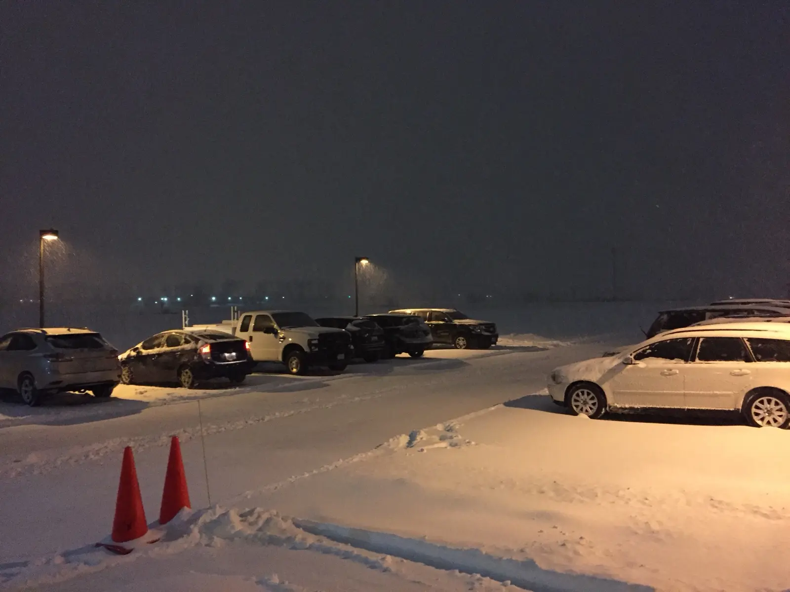
Cover image: Snow falling at night during the Blizzard of 2016 at the National Weather Service Baltimore/Washington forecast office in Sterling, Virginia. Photo by Famartin via Wikimedia Commons, CC BY-SA 4.0.
Frequently asked questions
What is the difference between a winter storm watch and a winter storm warning?
A watch means conditions are favorable for a significant winter storm but timing, location or amounts are uncertain, so you should prepare. A warning means the storm is expected or already happening and you should take action, mainly by delaying travel.
What is a blizzard warning?
The NWS issues a blizzard warning for frequent wind gusts of 35 mph or more with falling or blowing snow frequently reducing visibility to less than 1/4 mile for three hours or more. No minimum snowfall is required.
Is a blizzard warning worse than a winter storm warning?
Both are warnings, but a blizzard warning focuses on wind and whiteouts and the NWS advice is not to travel at all. A winter storm warning focuses on heavy snow, sleet or ice and advises delaying travel.
What is a winter weather advisory vs. a warning?
An advisory covers snow, sleet, ice or blowing snow that will cause travel problems but stays below local warning criteria. A warning means a significant, hazardous event with travel becoming difficult or impossible.
How much snow is needed for a winter storm warning?
There is no national number. Each NWS office sets its own criteria, and the amount needed in the Northern Plains is typically much higher than in the Southeast.
What happened to wind chill warnings?
On October 1, 2024, the NWS renamed them. Wind chill watches and warnings became Extreme Cold Watches and Warnings, and wind chill advisories became Cold Weather Advisories.
Do winter storm warnings come as emergency alerts on my phone?
Generally no. The NWS sends snow squall warnings as Wireless Emergency Alerts, but blizzard, ice storm and winter storm warnings are not on the WEA list, so use weather.gov, an app or NOAA Weather Radio.
What does 'Particularly Dangerous Situation' mean in a blizzard warning?
Starting on or about October 1, 2026, the NWS can add this wording to blizzard and ice storm warnings when it has high confidence in an event of extreme and historic severity.
Sources
- National Weather Service – Winter Weather Warnings, Watches and Advisories
- National Weather Service – Understanding Cold Weather Alerts
- National Weather Service – Cold hazard simplification (October 1, 2024)
- National Weather Service – Ice Storms
- National Weather Service – Snow Squall
- National Weather Service – Wireless Emergency Alerts
- NWS Service Change Notice 26-52 – PDS wording in Blizzard and Ice Storm Warnings
- NOAA – El Nino looms large over U.S. Winter Outlook (Oct. 15, 2026)
- NOAA Weather Prediction Center – Probabilistic Precipitation Portal
Log in to comment
No comments yet. Be the first.